Alaska/Canada 2022-11: Klondike Loop 6 - Tombstone Mountain Territorial Park
As we drove through Tombstone Territorial Park four hours after leaving the Arctic Circle, we realized this was the most spectacular scenery we'd seen on the Dempster Highway.
The Dempster Highway runs through Tombstone Territorial Park beginning 153 miles south of the Arctic Circle.
We'd opted not to drive the 300 miles from the Arctic Circle to the Arctic Ocean. It'd be at least 7 hours of additional driving, and the threat of a tire problem was ever present. Dancing with mosquitoes while changing a flat? No, thank you.We drove to the Arctic Circle on the Dempster Hwy. Returning south, we stopped at Tombstone Campground.
How many times would I say breathtaking on this trip? I now have a complete understanding of the word, the feeling of having my breath literally pulled from my lungs as I gaze in awe.
Despite the haze from wildfires to the west, Tombstone was breathtaking.
Tombtone Mountains
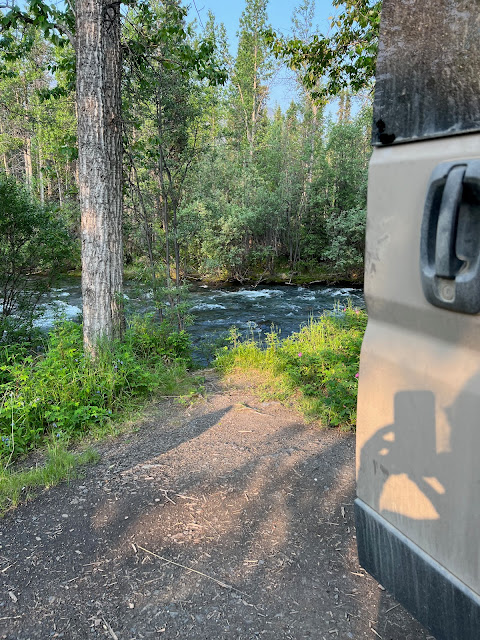
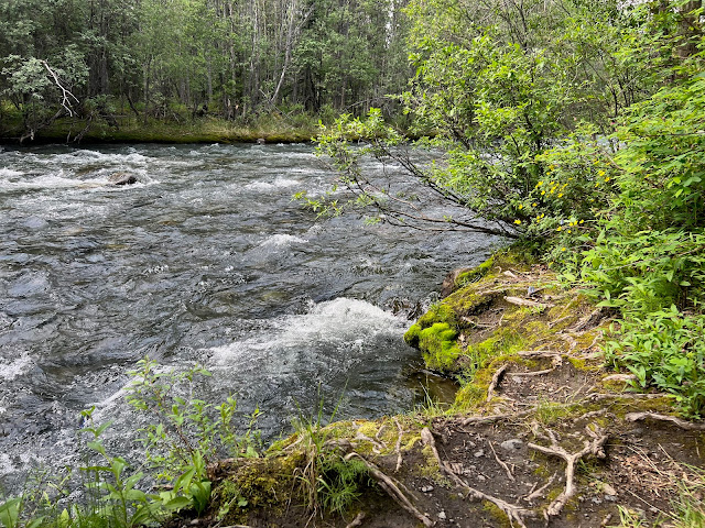
It was a no brainer to check out Tombstone Campground, set on the North Klondike River, at 3,400 feet. Our site was right on the banks of the river.
Is there anything like the sound of rushing water?
You might say we were relaxed.
As Doug says, on our first trip to Alaska, in 2017, we felt the need to get from place to place, because we had no idea what we'd encounter or how long it would take. This time, if we liked a place, we stayed longer.
Tombstone Mountains
Backdrop to campground.
Since the river was too fast-moving to go into, several times a day I dipped a bucket into it and poured the water over my head. So invigorating!
Doug applying Deet lotion. An intermittent breeze swept mosquitoes away, but when it died down, they'd return to feast on us.
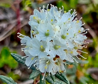
Coming down the Dempster, Doug stopped multiple times for me to take wildflower pictures. How was I to know we'd find them growing all over the campground?


Prickly Rose.


Dwarf Raspberry. Northern Goldenrod.


Northern Monkshood. Shrubby Cinquefoil.


Fireweed. Labrador Tea.


Tall Lungwort/Bluebells. Mountain Avens.
While I happily traipsed about taking pictures, Doug was hard at work attempting to cut the layers of dirt the Dempster had thrown at the van.
At least we hoped less dirt would end up inside the van.
The rangers at Tombstone Interpretive Center confirmed from our pictures that it was in fact musk ox we'd seen crossing the Dempster south of the Arctic Circle.
Tombstone Interpretive Center
The musk ox skull made us glad we hadn't had an in-person encounter.
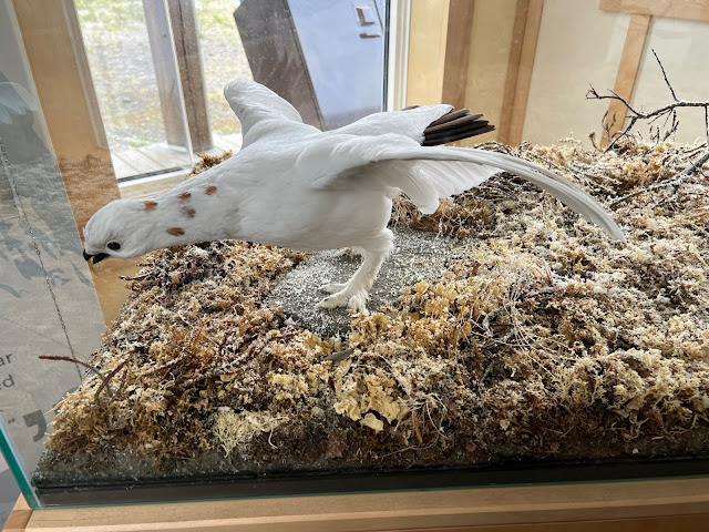
Does a ptarmigan look like a chicken?
We picked up free activity books at the interpretive center for our grandchildren and gave some to two young girls we'd met in the campground along with their mom. They were driving to the Arctic Ocean in a rental camper.
Mom and daughters were just delightful. They were headed to the Arctic Ocean in a rental RV. The people we meet so enhance our travels!
With the wildfire smoke somewhat dissipated on the second day, we drove back to the Tombstone Range Viewpoint.
With less smoke, we could see much further into the distance of the Tombstone Range.
The Tombstone Range rises to 7,200 feet, with sharp peaks, glaciers, mountain meadows, icy lakes. It's easy to see why the Hän and Gwich'in call the area Among Ragged-Peaked Mountains.
We finally decided we should head back to Dawson City. Remember we decided not to go to the Arctic Ocean partly due to the ongoing possibility of a tire problem? Well, there's also always the potential for a damaged windshield, and sure enough, in the last 44-mile stretch of our 554-mile round trip on the dirt Dempster Highway, a big rig barreling toward us going north threw up a rock that hit the windshield.
It's a nice spider, don't you think?
As Doug said, now we had a real Yukon-Alaska vehicle!
Back in Dawson, we'd shower, then take the free ferry across the Yukon to the Top of the World Highway.


.jpeg)
wonderful! scenery, flowers, occasional fellow adventurers!!
ReplyDeleteThank you!
DeleteGreat pictures. Beautiful scenery. Have you guys seen a TV show named Ice Road Truckers? Some of the places shown on your maps were mentioned on that show. Of course all the scenery on the show is white. These trucks drive in the middle of snow and ice storms and on frozen rivers and lakes. Love that show. As far a camping on the shores of the river...that's for me. I love the sound of water rushing over rocks. Don't get used to the great climate in Alaska. I hear it's hot as blazes in the Visalia.
ReplyDeleteThank you! I think we'll leave the snow and ice driving to the trucks.
DeleteJust saw my name was not mentioned in the above comment. It's from David in hot and flood ravaged Mississippi.
ReplyDeleteThanks, David. I hope you are surviving the floods! Yep, hot here.
DeleteGreat adventure! Photos of musk ox? What a treat!!!! Judy
ReplyDeleteIt was ALL a treat!!!
Delete