Washington and Water: Some Hooptedoodle
Where's the Ocean?
The first time I visited Seattle with Doug, I thought it was on the ocean. Nope, he said, it's on Puget Sound. The Olympic Peninsula is on the Pacific. The Sound is the route for cargo and cruise ships from the ocean to Seattle
Then, how far is Seattle from the ocean? As the crow flies, 95 miles due west on the Olympic Peninsula is the Tree of Life at Kalaloch Campground. Driving distance is about 175 miles, whether you go north over the top of the Olympic Peninsula or south through Olympia and around.
The Coast from Seattle to the Canadian Border
From Seattle north 111 miles to the Canadian border, there's Elliott Bay, Puget Sound, Possession Sound, Port Susan, Skagit Bay, Padilla Bay, Samish Bay, Bellingham Bay, Lummi Bay, Birch Bay, Semiahmoo Bay, Boundary Bay, and the Strait of Georgia. It's all salt water, but is it the ocean?
We love to walk the Bellingham Bay Boardwalk to Woods Coffee.
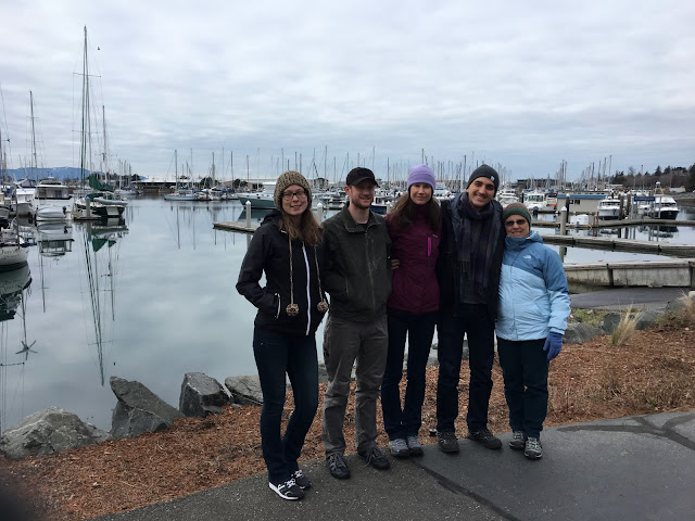
Devon, Drew, Doug Snider on Bellingham Bay Boardwalk.Doug's kids & me, Bellingham Harbor. Have we ever mentioned that they are all tall?
We've left the mainland many times on a ferry to islands, peninsulas, and Alaska. It's always seemed like being on part of the ocean.
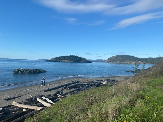
West of the mainland, we've camped on Whidbey Island at Deception Pass. Doug again explained when we first camped there that we were not on the ocean, but on the Strait of Juan de Fuca.

Coupeville-Port Townsend ferry approaching Port Townsend.
Port Townsend is a very special place to Doug, as during WWII his father spent part of his time at the Coast Guard base there. It's now the campground we stay in.
Our Promaster van in our favorite spot, a dry site (no hookups), next to the marina and Port Townsend Bay.
We've also camped at Fort Worden, just north of Port Townsend.
Looking from Fort Worden across Strait of Juan de Fuca to Canada.
While camped at Port Townsend in early 2022, I was curious about three boats that were all motoring toward an island.

3 Boats & an Island, Port Townsend.
As the boats made a 180-degree turn, I realized the "island" was rising! It was a submarine that had come from the Pacific Ocean through the Strait of Juan de Fuca.
Submarine & Escort
The boats were its escort to Bangor Trident Base on the Hood Canal.

Crossing the Hood Canal on the floating bridge.
We've camped on the Hood Canal, and in 2021, spent a fabulous 10 days there sharing an AirBnB with Doug's kids. Of course when we first camped there, I thought we were on the ocean. Duh--we were facing east, and we all know the sun rises in the east, so of course we weren't on the Pacific Ocean!

2010 on the Hood Canal—3 vans ago. We still have the VW.
However, may I point out that when we camped at Avila Beach, CA, the sun did come up over the Pacific, which took a bit to wrap my mind around. Also, please note anomalies such as inland Reno being west of coastal LA.

Facing east to Seattle & Mt. Ranier from west side of Hood Canal.
To add to my confusion, the Hood Canal isn't even a canal—it's a fjord.
Another famous Doug's-foot kayak pic: with his kids on the Hood Canal, 2021. We swam in it, too—it's definitely salt water.
Hurricane Ridge Trail parking lot, Olympic Mountains. I was not lost--I knew the ocean was...that way!
Olympic Peninsula West Coast
One year we camped on the Makah Indian Reservation on the northwest tip of the Olympic Peninsula.
Meandering the West Coast of the Olympic Peninsula.
We drove out to Cape Flattery, also part of the reservation, and walked the short trail to the overlook decks.
Doug, Cape Flattery, northwesternmost point in the contiguous US.
Across the water is Cape Flattery Lighthouse on Tatoosh Island.
Cape Flattery Lighthouse.
And below is—the ocean! Cape Flattery is where the Salish Sea meets the Pacific! The what? More on that below....
Eureka! I was on the Pacific Ocean!
Doug & Mz Agnes, our Ford van, Quileute Reservation Oceanside Resort Campground near LaPush. Definitely our kind of "resort."
Gigantic logs had washed up on the beach.

Kalaloch Campground—nothing like camping right above the ocean's edge.
Cape Disappointment SP, in our VW Westy.
Marilyn looking toward North Head Lighthouse, Cape Disappointment SP.
Bald Eagle, Long Beach Peninsula.
Long Beach Peninsula: we wished the sign had been at the other end of the trail, where we started the walk.
It proved impossible to avoid the water, sometimes knee-deep for Marilyn/ankle-deep for Doug.
The Salish Sea
In 2009, the name "Salish Sea" was agreed to by the US, Canada, Tribes, and First Peoples. Encompassing the single ecosystem of the Strait of Juan de Fuca, the Strait of Georgia, and Puget Sound, the name acknowledges the first inhabitants of these coasts, the Coast Salish, whose ancestors continue to live on the Salish Sea today. "How the Salish Sea Got Its Name," a very interesting article, tracks the history of the designation "Salish Sea." According to "The Marginal Seas Of The Pacific Ocean," the Salish Sea is a "marginal" sea of the Pacific Ocean, meaning, "a division of an ocean that is either enclosed by peninsulas, islands, or archipelagos and is adjacent to an open ocean."
One More Coast
South of the 49th Parallel, Point Roberts is part of the US.
Though 26 miles through Canada by car—or school bus, for some children—because it's below the 49th parallel, Point Roberts is part of the US.
Point Roberts, the coast from Seattle to Canada, and the north coast of the Olympic Peninsula form about 60% of Washington's coast. All three face Canada—good thing we're friends.
So, of 3 Coasts, a Peninsula (& a Bunch of Islands), Only 1 Coast is on the Pacific Ocean, Right?
Oregon's Pacific Coast runs roughly north-south. California's runs northwest-southwest. Washington's runs north-south from Cape Flattery to Cape Disappointment. However,
1) the coastal waters from the Canadian border south to Birch Bay are part of the Salish Sea;
2) the Hood Canal and the coastal waters from Birch Bay south to Seattle are part of Puget Sound;
3) Puget Sound is part of the Salish Sea; therefore,
All of Washington's coasts are part of the Pacific Ocean!
I was right: on my first visit to Seattle, I was on the ocean! But, no one who lives in or visits Seattle would ever say they were on the Pacific Ocean.
So I've answer the question of where is the ocean in Washington, but...
How Long Is the Coast of Washington?
According to the Congressional Research Service, west coast state lengths are: Oregon, 296 miles; California, 840; Washington, 157. Respective driving distances are 398, 907, 507. Atlas Obscura came to the rescue. In somewhat comprehensible language, and even featuring Puget Sound and Washington state as examples, it explains that a coastline's length is determined by fractals, coastline paradoxes, and such.
Shoreline miles are perhaps more comprehensible. NOAA lists Oregon at 1,410; California at 3,427; Washington at 3,026. These miles include "offshore islands, sounds, bays, rivers, and creeks to the head of tidewater."
And Then There Is the Fresh Water
Washington has lots of fresh water, too, most notably the Columbia River. The mighty 1,240-mile-long river flows 190 miles northwest from Columbia Lake in British Columbia, then south 750 miles to Wallula Junction, WA, and finally, 300 miles west to the Pacific Ocean, forming much of the Washington-Oregon state line.
The 1,240-mile course of the Columbia River. We have been to places labeled in purple.
We've been fortunate to have camped along the Columbia in British Columbia, Washington, and Oregon.


Back to Seattle
So now that I know that Seattle is technically on the Pacific, what about all that water within the city? Seattle is comprised of 41% water!
Green lines are roughly Seattle city limits.
Aerial view of Washington Ship Canal and Ballard (Chittenden) Locks, which accommodate the elevation change from the Sound to the lake.
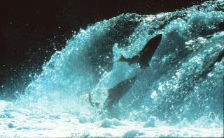
Salmon seen through viewing window.
Seattle also has the Duwamish Waterway separating downtown from West Seattle, Green Lake, Union Lake, and a bunch of creeks.
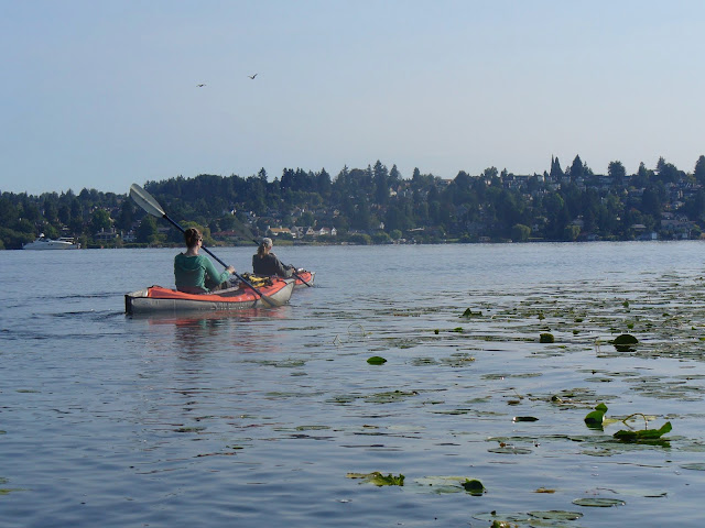
There are lots of ways to get around on Seattle's water:
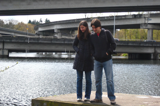
A lot of bridges are required to traverse Seattle by car. Katie and husband, Javier, on Lake Washington trail.
Well, there you have it. My mental meandering about Washington and water has come to an end...for now.



.jpeg)



.jpeg)








I just love these posts. You can't have too many pictures with water.... also learned that Point Roberts is U.S.! We've taken the ferry from Tsawwassen and didn't know we were mere feet from Washington.
ReplyDeleteThank you so much! I really appreciate the kudos.
DeleteLoved all of it Marilyn. Thank You! Connie BGBC
ReplyDeleteThanks, Connie. Really appreciate it
DeleteGreat post! The timeline of visits through the years is astounding. Your description of the sun rising over the Pacific reminds me of Santa Barbara. I always thought the Pacific is to the west, but not in SB; it's to the south.
ReplyDeleteSteve
Thank you so much, Steve. Hopefully, the timeline will include many more visits here and there.
DeleteMore wonderful photos and travelogue!
ReplyDeleteOh, it's not so much tall; it's EHS or "excess height syndrome."
Haha! Thanks, Scott😎
Delete