Southwest 2021-15: Utah: Muley Point and Moki Dugway
March 22, 2021
Bears Ears Buttes
After a night at Natural Bridges National Monument campground, we drove the loop road, stopping to walk to the viewpoints and wonder at some of the bridge. Exiting the monument, we stopped to look at the Bears Ears, the namesakes of Bears Ears National Monument. We wrote about these areas in detail in our Southwest 2021-14 post.
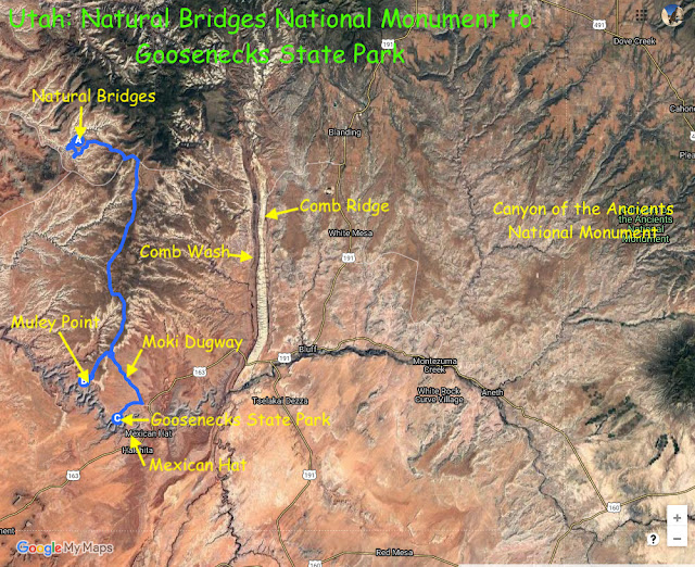
In Southwest 2021-14, we wrote about the 120-mile long Comb Ridge and Comb Wash. Their entire length is clearly visible on this satellite map. The blue line shows our drive from Natural Bridges to Muley Point, the Moki Dugway, and Goosenecks State Park.
We soon turned south toward the Moki Dugway. But of course we had to meander along the way. This time it was Muley Point, another spot Doug had read about in his in-depth internet reading of places and roads and vehicles. And thank goodness for that, as while we often discover places while meandering, some we would not find without Doug's extensive reading.
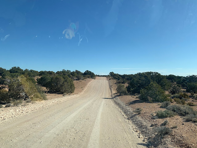
Marilyn was thinking Muley Point was just off the road, and began to wonder as we drove on and on down the gravel road...

...which became a red dirt road...
,,,and across numerous cattle guards.
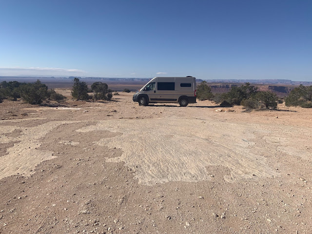
Fortunately, Doug still had his wits about him and stopped the car well back from the edge, as Marilyn sat stunned at the immensity of what was before us
There truly are no words for the view from Muley Point, which looks out over winding canyons carved by the twisting San Juan River.

Doug at Muley Point.
A number of people were camped at Muley Point, and we were tempted, but it was cold and windy, and with little protection, the night was bound to be even colder.
Returning from Muley Point to the main road, we pondered another view of the Bears Ears buttes.
View to east departing Muley Point.
And then it was time for the Moki Dugway! Spanish Explorers used the word moqui to describe the Pueblo Indians. A dugway is a road carved out of a hillside.
Satellite view of the Moki Dugway
The Moki Dugway begins on the top of Cedar Mesa. It's on the website of the most Dangerous Roads in North America, but really it just takes a bit of care while driving. Doug had been up it at least three times, twice in the VW bus and once in Mz Agnes (our Ford van), but this was his first time going down. Being a bit scared of heights, he was a bit apprehensive. Marilyn had been up the road once with Doug. This would also be her first time going down.
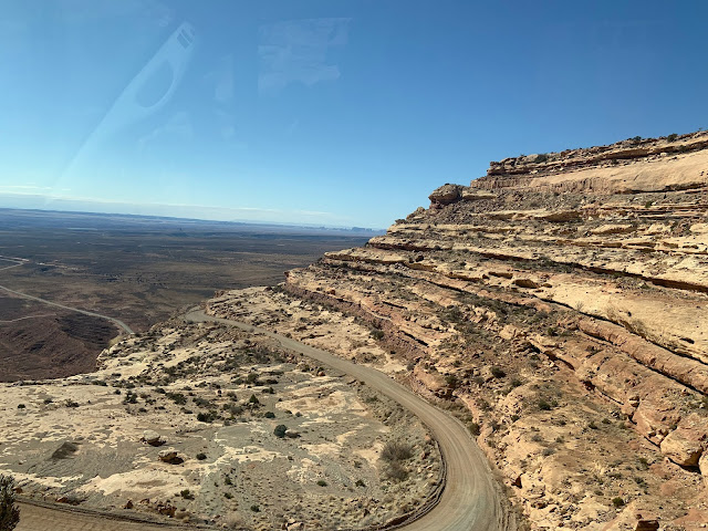
The Moki Dugway is 3-mile-long narrow gravel road with switchbacks that descends 1,200 feet. When we reached the crest of the top of the road, a couple of cars were pulled off. Perhaps the signs pictured above and below were causing them to have second thoughts?

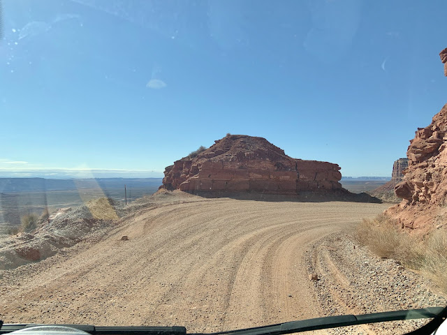
Heading into the first switchback.
Reaching the curve shown in the photo above.
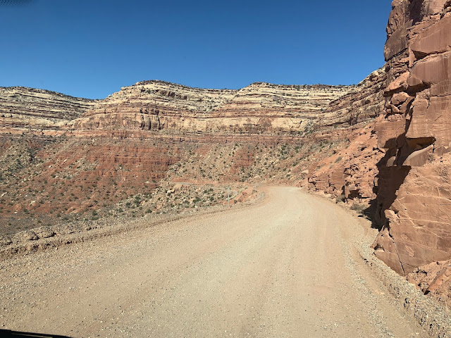
Looking over to where we're going...
...and down to the road below us.
Moki Dugway on right and road across the valley below on left.
...and more curves...
...and approaching another switchback...
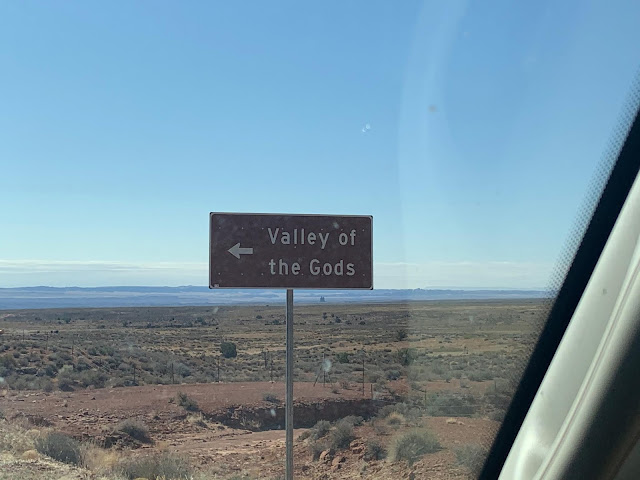
...and we're down! Just after we leave the Moki Dugway is the turnoff to the Valley of the Gods. We decided not to go that day and went on to Goosenecks State Park, hoping for a campsite.
We converted one of our videos going down the Moki Dugway and uploaded it, but unfortunately it wouldn't open. Of course, there are lots of videos on You Tube, including this one from 2019.
Heading to Goosenecks State Park, we passed open range signs, which are prevalent throughout the Southwest. Some, like this one, are edged with flashing lights.

This time we were rewarded with actual cows...
...who weren't in a hurry to cross the road.
Looking back to where the Moki Dugway climbs to the top of Cedar Mesa.
Next up: Goosenecks State Park, Monument Valley, Pahreah, and the Fog-Snow-Rain-Hail-Sleet Day.









Comments
Post a Comment
We love hearing from our readers! If you wish your comment not to be "Anonymous," you can sign into your Google account or simply leave your name at the end of your comment. Thanks!